

Vinkkaa tuotetta kavereillesi:
British Columbia Northern 1. Painos
ITM Publications
Tilattu etävarastosta

British Columbia Northern 1. Painos
ITM Publications
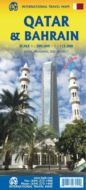
Side 1 is of the western portion, including the Alaskan Panhandle, with the route followed by cruise ships heading north and clearly delineates the border between Canada and the USA. It also shows the Stewart Highway heading north towards the Yukon, with its branch leading to Hyder, Alaska, the only place in the USA that uses Canadian money and does all its banking in Canada. The second side covers the eastern half of BCs north, with the Alaska Highway starting in Dawson Creek and extending north to Fort Nelson before veering west into the eastern edge of the Rocky Mountains to the Yukon border.
1 pages
| Media | Kirjat Map (Maa- tai merikartta) |
| Julkaisupäivämäärä | lauantai 25. helmikuuta 2023 |
| ISBN13 | 9781771294157 |
| Tuottaja | ITMB Publishing |
| Genre | Maps & Guides |
| Sivujen määrä | 1 |
| Mitta | 249 × 105 × 12 mm · 56 g |
| Kieli | English |
Lisää tuotteita ITM Publications


Muutkin ovat ostaneet
![Cover for James Joyce · Ulysses (Bound Book) [1. Painos] [Indbundet] (2014)](https://imusic.b-cdn.net/images/item/original/584/9788763814584.jpg?james-joyce-2014-ulysses-bound-book&class=scaled&v=1412192648)
![Cover for G.W.F. Hegel · AFTRYK: Dialetik (Sewn Spine Book) [1. Painos] (2022)](https://imusic.b-cdn.net/images/item/original/800/9788793535800.jpg?g-w-f-hegel-2022-aftryk-dialetik-sewn-spine-book&class=scaled&v=1661237403)
![Cover for Den Grønne Ungdomsbevægelse · En Grøn Retfærdig Fremtid (Sewn Spine Book) [1. Painos] (2022)](https://imusic.b-cdn.net/images/item/original/000/9788794406000.jpg?den-groenne-ungdomsbevaegelse-2022-en-groen-retfaerdig-fremtid-sewn-spine-book&class=scaled&v=1670182722)
Katso kaikki joka sisältää ITM Publications ( Esim. Hardcover Book , Print , Book , Map Ja Sewn Spine Book )